
All News and Perspectives
-
November 29, 2021
-
July 1, 2021
-
April 30, 2021
-
February 15, 2021
-
January 19, 2021
Brief: U.S. DOT Releases New Autonomous Vehicles Comprehensive Plan
-
December 1, 2020
U.S. Transportation Department Key to Biden Meeting Paris Agreement Targets
-
November 24, 2020
Many Frustrated as FCC Rules to Reallocate 5.9 GHz Spectrum Away from Transportation Safety
-
September 17, 2020
-
June 24, 2020
Could Greenhouse Gas Emissions Be Added To COVID-19’s Casualty List?
-
March 9, 2020
-
January 20, 2020
Overcoming The High Carbon Debt of Electric Vehicle Production
-
January 9, 2020
How Cities Can Digitize Their 21st Century Mobility Policies
-
September 26, 2019
-
July 30, 2019
U.S. Falling Behind in Smart City Deployments and Key 21st Century Infrastructure
-
April 19, 2019
-
April 18, 2019
-
April 10, 2019
-
January 31, 2019
-
January 16, 2019
Let’s Hope Trump Considers Infrastructure a National Security Issue Too
-
December 12, 2018
-
August 16, 2018
Autonomous Vehicles: Planners Aren’t Planning, Just Reacting
-
July 26, 2018
Blockchains, Smart Contracts, and the Future Of Transportation Security
-
July 20, 2018
Transportation – The New Villain in America’s Fight Against Greenhouse Gas Emissions
-
April 5, 2018
-
February 26, 2018
-
October 27, 2017
-
October 20, 2017
-
October 11, 2017
-
October 6, 2017
AV START Act Unanimously Clears US Senate Commerce Committee
-
September 25, 2017
Metropolitan Areas + Autonomous Vehicles – Congestion = Savings
-
September 18, 2017
-
September 11, 2017
-
August 8, 2017
-
July 7, 2017
Bills, Bills, Bills: A Look at the AV Bills Currently Moving Through Congress
-
June 27, 2017
-
June 27, 2017
-
June 26, 2017
-
June 19, 2017
-
June 9, 2017
-
May 23, 2017
-
May 18, 2017
-
May 18, 2017
-
May 4, 2017
Can Government Overcome Hurdles to Infrastructure Investment?
-
May 3, 2017
-
April 10, 2017
Proving It: Connected Infrastructure & AV Research Vital to a National Strategy
-
April 9, 2017
Atlanta Bridge Crisis: A Plea For Federal Infrastructure Investment
-
April 7, 2017
Bi-partisan support in the Senate for AV/CV funding. Thank you to our Senator Tammy Baldwin!
-
April 3, 2017
Tractors, Hackers, and Other Factors: The Necessity of Neutral Third Parties in the AV Realm
-
April 3, 2017
-
March 31, 2017
-
March 28, 2017
-
March 28, 2017
-
March 21, 2017
Digital Transportation: The Future of Urban Mobility
September 26, 2019 • Robert Fischer, President GTiMA
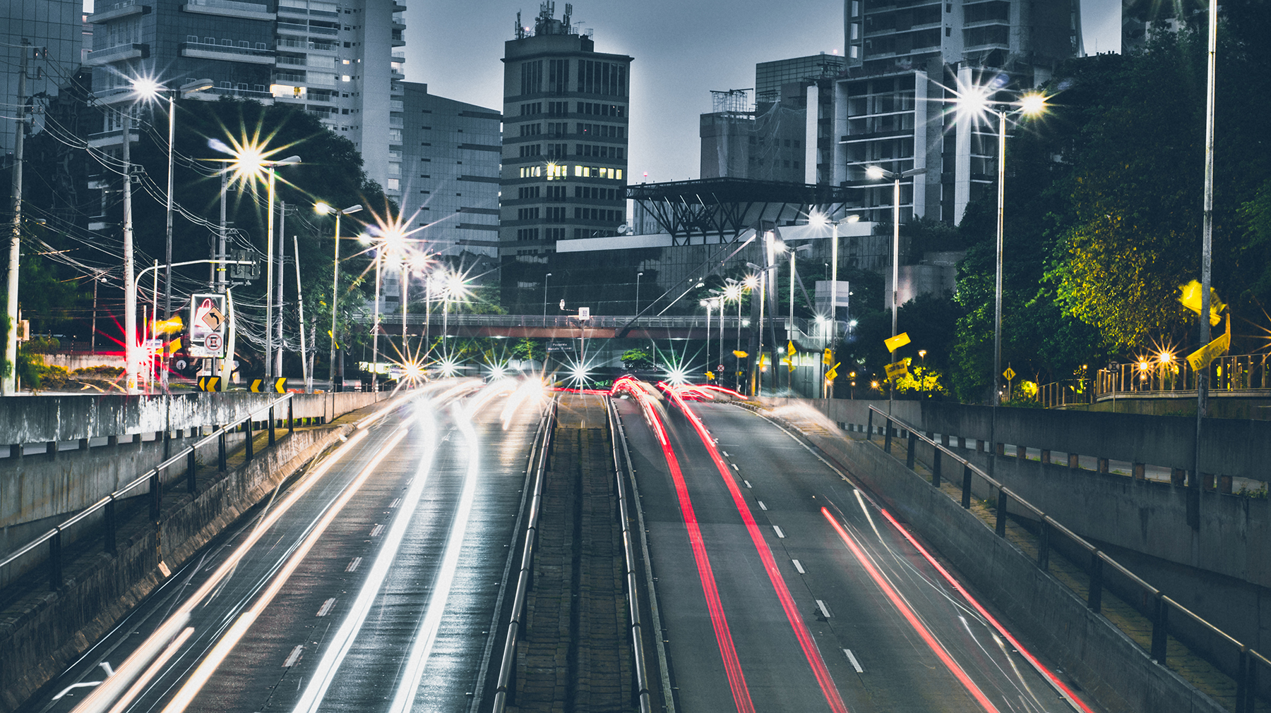
The physical scale and unprecedented population growth in some cities have officials grappling with how to manage their transportation network. The Open Mobility Foundation has a bold, digitally-based vision to help cities meet their mobility goals.
PORTLAND, Oregon – What used to be a relatively quick, uneventful drive into Portland from my southwest neighborhood has turned into a traffic debacle. I knew commuter life in Portland had changed forever when, on this last visit, my GPS said, “Are we there yet?”
Portland is one of the fastest-growing cities in the United States, and like many booming cities, population growth and gridlock have swelled hand in glove. But there is reason for optimism, as Portland and 15 other cities this summer inaugurated the Open Mobility Foundation, a nonprofit whose mission is to modernize city planning technology and help communities meet their mobility goals.
Cities have always been responsible for managing their surface transportation network, and for the better part of the last century, they did so using analog systems like stop signs, lane markings, and curbs.
Today, however, the transportation ecosystem is surging ahead digitally, with new modes of transportation like ridesharing, scooters, and self-driving vehicles being introduced yearly.
In principle, this phenomenon should be a welcome novelty. After all, with limited budgets, cities can’t just keep adding new transit routes.
But these digital modes of transportation offer plenty of potential in their own right. More than 48% of trips in the most congested cities are under three miles, according to a recent INRIX report, which analyzed over 50 million trips. If a fraction of these trips were replaced by shared bikes and scooters, cities would experience less traffic, reduced emissions, and a boost to the local economy, according to the research group.
Of course, there is a darker side to this tech. Scooters clog narrow sidewalks, lay strewn in the middle of crosswalks, and have been known to force pedestrians into a hurdle race over these wheeled platforms. Meanwhile, ride-hailing firms like Uber and Lyft, which at their inception were hyped as traffic busters, admitted in August they are making congestion worse in some cities.
Indeed, harnessing the promise of these new forms of mobility, while mitigating the bad, has been a challenge for cities.
Which is why Portland, Los Angeles, Miami, Seattle, San Francisco, Austin, Minneapolis, and others jumped to form OMF, whose mission is to govern the new Mobility Data Specification.
MDS, which was originally unveiled by the Los Angeles Department of Transportation last year, is a set of data specifications and data sharing requirements that force mobility companies to report basic data on the location and use of their equipment.
The principle is simple: If a city is going to manage its surface transportation network effectively, it better know where ‘stuff’ is.
But MDS alone won’t solve congestion. In order to leverage MDS data to mitigate traffic, cities will need a high definition map of the city, or as the latest “Technology Action Plan” [pdf] by the Los Angeles Department of Transportation describes it, a “digital infrastructure that mirrors the current hardscape and that gives transportation assets like curbs, streets, sidewalks, airspace, and subterranean space a digital identity.”
That’s right, code is the new concrete, and a key tenet of OMF’s mission is that the city is going to own and govern its digital twin.
“Going forward, each city must manage its own Digital Twin, which will provide the ground truth on which mobility services depend,” states the OMF bylaws [pdf].
The result is that all stakeholders—both cities and the private mobility companies—will operate off the same digital map, with MDS acting as the data and communication protocol.
For the first time, cities will be in a position to digitally, and actively manage private sector service providers. For instance, a city could digitize their scooter policies directly into the digital twin—in other words, embed into the universal map rules like where and when scooters can park. Using the MDS protocol, the city could track precisely where and when scooters are operating and parking, even fining the scooter company or user when city policies are violated.
While MDS in its current form is focused on dockless e-scooters and bicycles, the good news is that it’s extendable to other types of digitized mobility like ride-hailing companies, and even autonomous vehicles.
In addition to supporting real-time management of mobility providers, officials also plan on using the digital twin as a digital testing ground to build and simulate a transportation system that could be exponentially more efficient than the existing network.
To seize this opportunity, OMF founding members are following LA’s lead, and working to build their digital infrastructure.
Indeed, the physical scale and unprecedented concentration of human beings in many cities have officials on edge, asking important questions about disease control, food production, education, housing, employment, migration, and transportation.
One thing is for sure, byzantine analog methods for managing transportation aren’t likely to cut it any longer. City officials need new tools and technologies that allow them to fulfill their role as planners, operators, investors, regulators, and enforcers of the surface transportation network.
It has been said that “technology is best when it brings people together.”
Let’s hope—in this case—the tech keeps us apart.
______________
Robert Fischer is President of GTiMA, a Technology and Policy Advisor to Mandli Communications, and an Associate Editor of the SAE International Journal of Connected and Autonomous Vehicles. Follow Rob on Twitter (@Robfischeris) and Linkedin.